


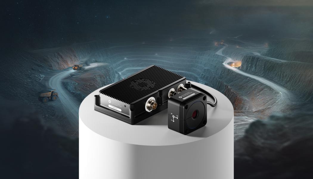
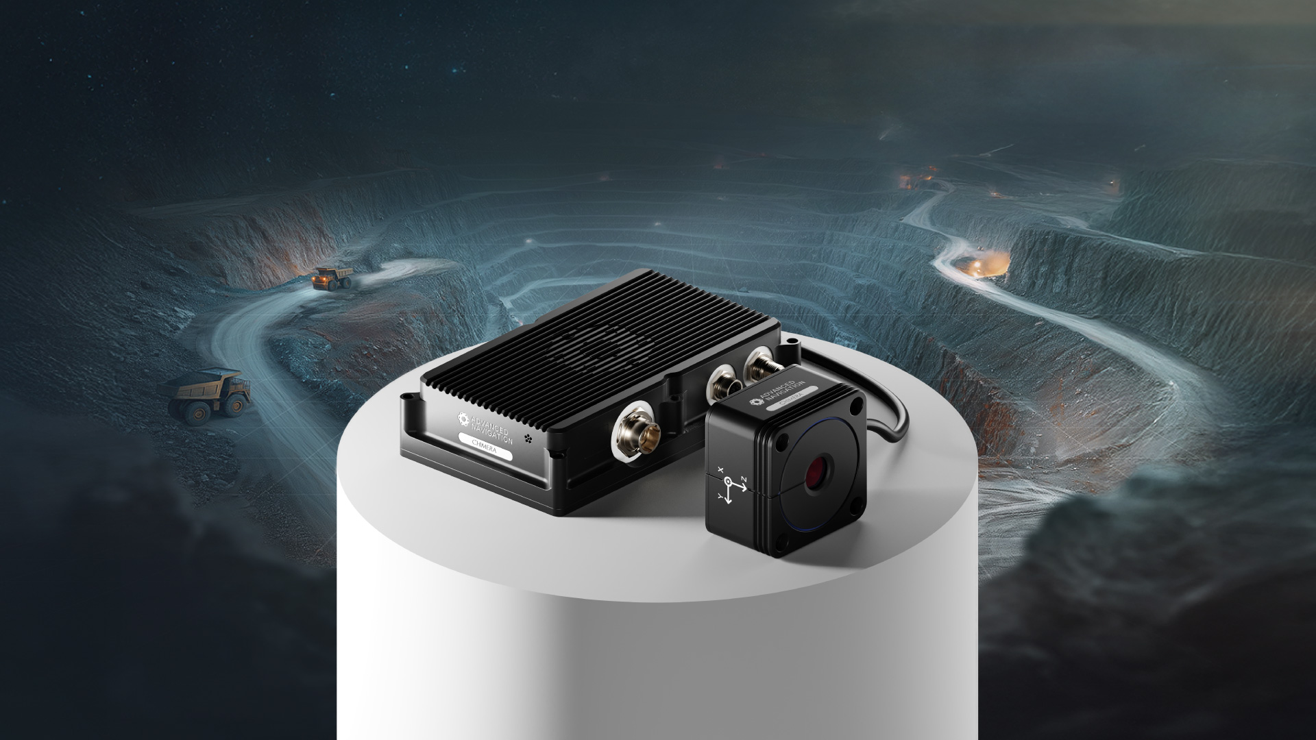
At SME MINEXCHANGE Conference, Advanced Navigation has unveiled Chimera Land - a 3D Laser Velocity Sensor enabling precise, resilient navigation for uncharted high-risk underground mining.
A new class of navigation, this 3D Laser Velocity Sensor (LVS) is specifically designed to solve the primary challenge for underground mining: maintaining precise vehicle positioning in deep, dark, and unmapped environments where GPS cannot reach.
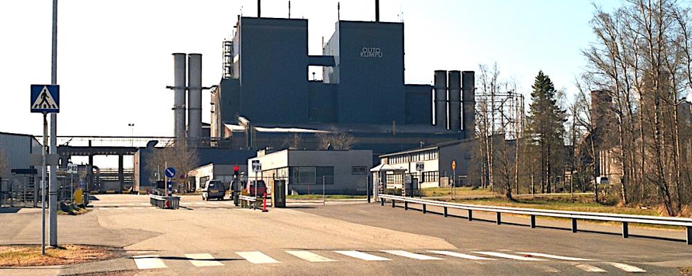
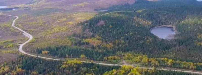
In underground mining, knowing exactly where a vehicle is located is mission-critical. Traditional navigation relies on GPS signals, which disappear the moment a vehicle enters a portal or adit. To compensate, mines often install expensive fixed infrastructure, such as Wi-Fi beacons or radio tags, which can be time-consuming and costly as they must be regularly maintained to keep up with the rapidly advancing mine face. This makes extending mines difficult and dangerous.
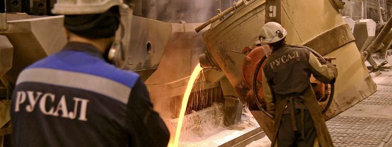
Joe Vandecar, Head of Product at Advanced Navigation, says, “In a production environment, navigation is critical. When positioning fails, haulage stalls, drill rig alignment drifts, and ore reconciliation becomes inaccurate. These disruptions create a cascade of operational lag that directly erodes profitability.”
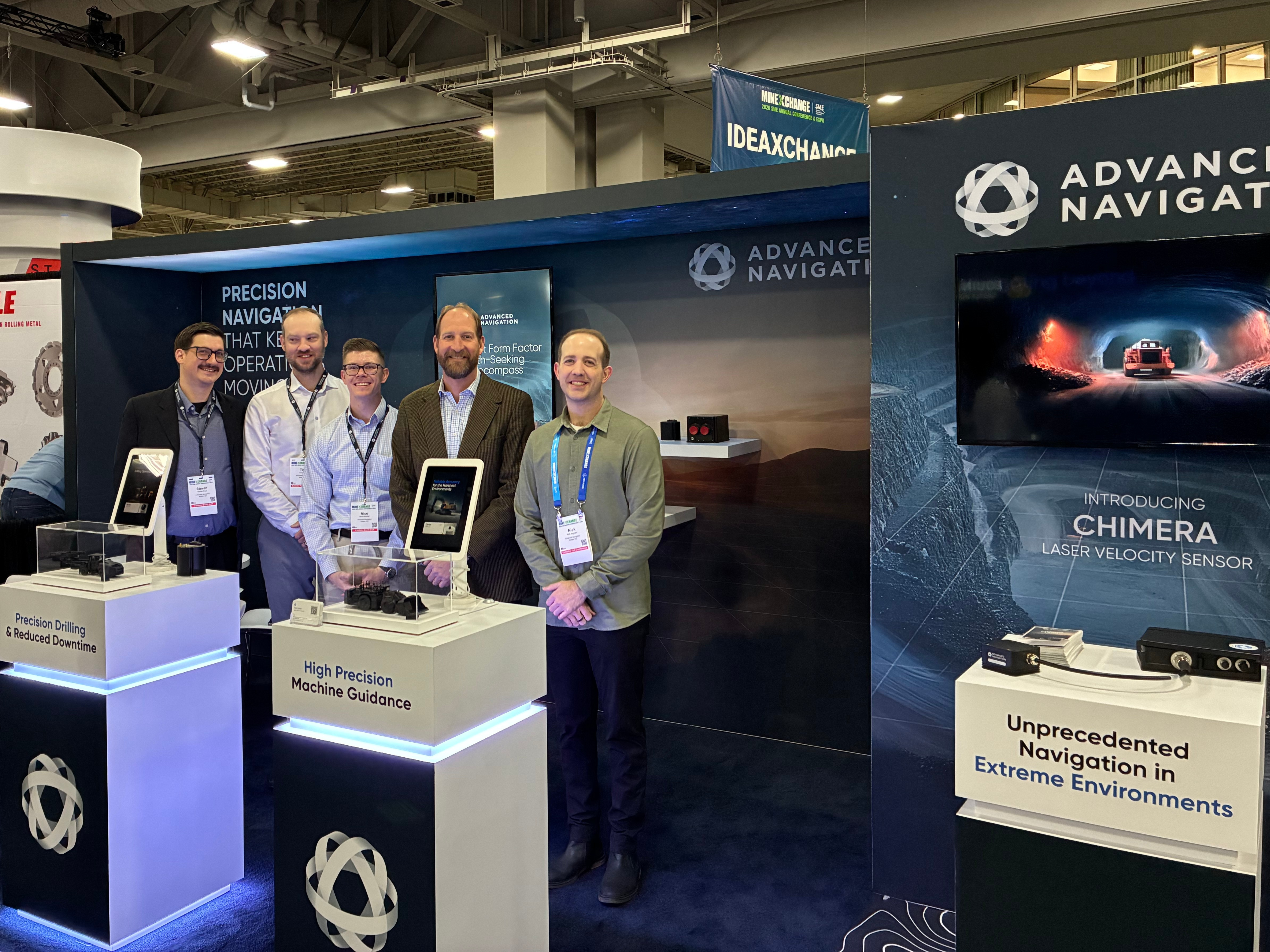
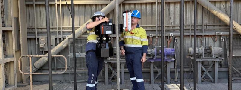
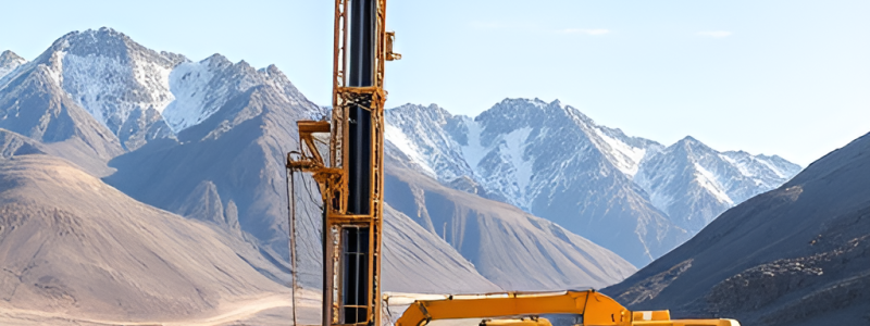
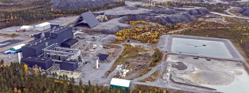
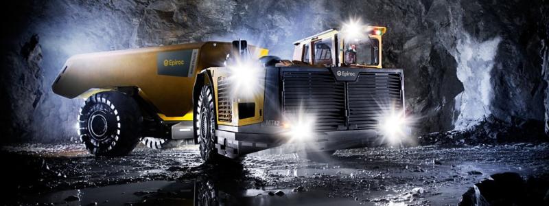
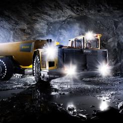
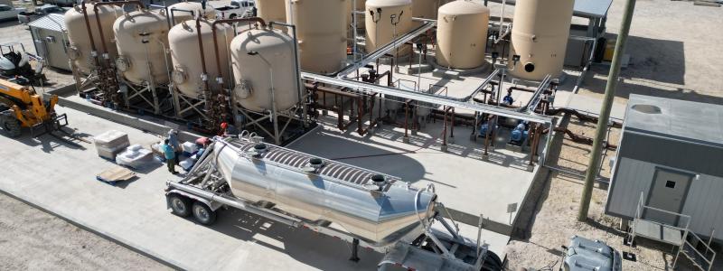
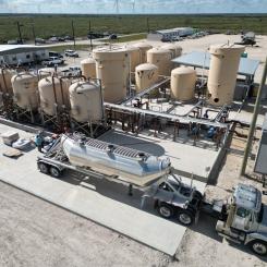
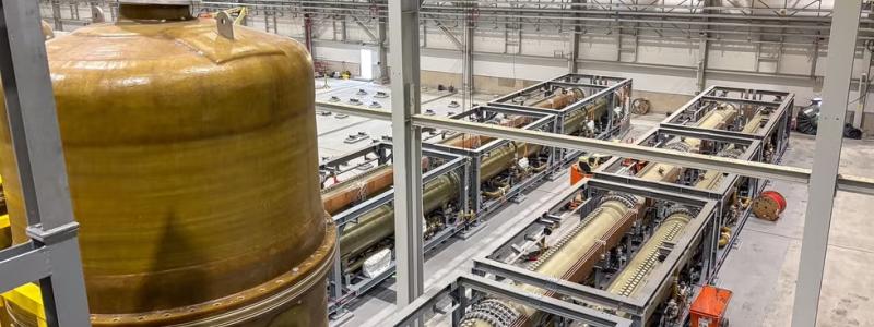
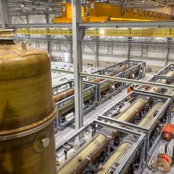
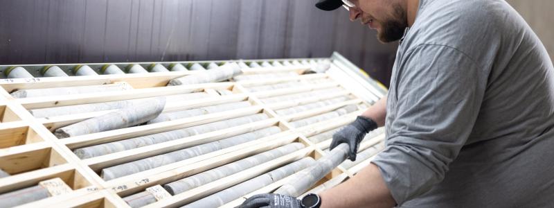
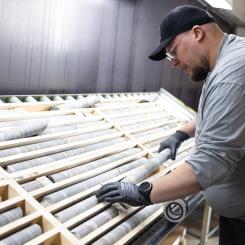
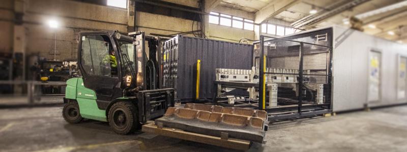
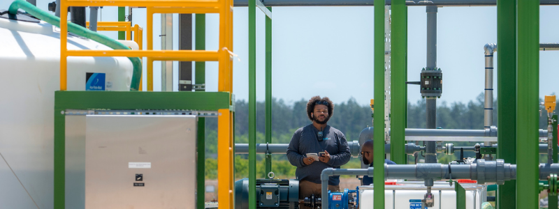
Photo: Advanced Navigation
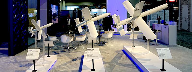
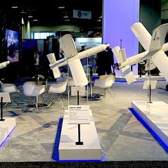
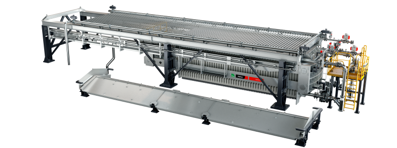
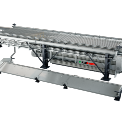
Chimera: 3D Lasers to Navigate Beyond Fixed Infrastructure
When fused with an Advanced Navigation inertial navigation system (INS), Chimera Land allows underground vehicles to maintain stable navigation over extended distances and time. Instead of needing to "ask" an external beacon or satellite for its location, the sensor uses specialized lasers to measure a vehicle’s ground-relative 3D velocity with high accuracy. By feeding this precise data into the vehicle’s INS, the sensor eliminates the inherent "drift" that typically comes with standalone INS.
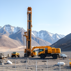
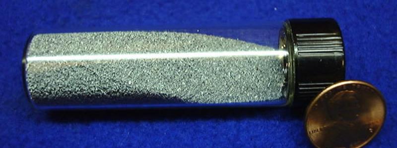
Advanced Navigation's Chimera Land, a 3D Laser Velocity Sensor
This integration is made possible with AdNav Intelligence, the company’s sophisticated proprietary software. Drawing on adaptive algorithms, the fusion engine dynamically weights the input from each sensor, adjusting reliance in real time based on their reliability scores, environmental conditions, and operational context.
The result is a resilient, high-performance, infrastructure-light positioning solution that excels in the high-dust, zero-light conditions typical of underground mines.
“Development areas in mining have long been held back by fragile external infrastructure and complex setups that struggle to keep pace with a moving mine face,” says Vandecar.
“Chimera Land changes that. By providing a fully onboard, self-contained solution, we’ve eliminated the 'positioning gap'. Even in the deepest, unmapped headings, we turn navigational guesswork into absolute operational certainty, ensuring that autonomous fleets keep moving without interruption.”
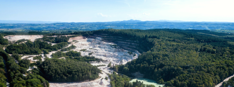
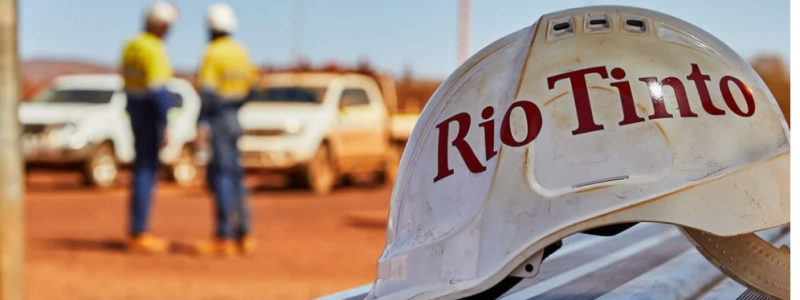
Proven in the Depths of Europe’s Deepest Mine
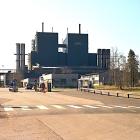
To prove its resilience, Chimera Land was demonstrated in Europe's deepest underground mine - a 1.4km deep labyrinth - as part of BHP’s Deep Mining Call.
When integrated with Advanced Navigation’s high-performance Boreas D90 INS, the solution achieved a position accuracy of 99.9% of distance traveled. Crucially, this performance was maintained without relying on any fixed positioning infrastructure, pre-existing maps, or external aiding.
Key performance benchmarks include:
- Precision at depth: The system delivered a final position error of 15.9m over a 22.9km transit (approx. 52 ft over 14 miles) at 1.4km underground.
- INS drift reduction: In a world where inertial sensors inherently "drift" or lose their way over time, Chimera Land actively reduced the drift rate to a mere 0.07% per distance traveled.
- Repeatable accuracy: Validated across five separate runs, the system consistently hit an accuracy of better than 0.1%.
- Infrastructure-light: Enables full vehicle autonomy even where fixed networks and infrastructure end.
“Maintaining this level of precision demonstrates a level of performance that few systems in the world can rival without any prior intelligence of the environment. These results prove we’re one step closer to unlocking scalable underground autonomy,” says Vandecar.
Figure above: 3D navigation trace of the run down to 1400 m depth. The test traversed a total distance of 22,920 m, with a measured final error of 15.98 ±0.09 m yielding an error per distance traveled of 0.070%. The descent and ascent paths are colored differently for disambiguation. During the ascent (light blue), the driver entered a side tunnel at a depth of approximately 1200 m which was not traversed on the descent.
Enhancing Deep Mines: From Infrastructure-Lite to Fully Autonomous
As mines move deeper and into more hostile geological frontiers, the cost of installing fixed infrastructure becomes prohibitive. Chimera Land is engineered to maintain high-confidence estimation in total darkness, heavy dust, and high-vibration mining environments. It allows for "infrastructure-lite" operations across the value chain:
- Autonomous Haulage Systems (AHS): Enables continuous high-speed tramming in development areas without the need for pre-surveyed beacons.
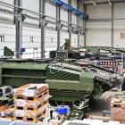
- High-Precision Machine Guidance: Provides the sub-decimeter velocity accuracy required for automated drill rig alignment and robotic scaling.
- Dynamic Fleet Management: Real-time, sovereign localization allows for precise asset tracking and ore reconciliation, even in the deepest "dead zones.
- Predictive Collision Avoidance: High-fidelity 3D velocity data improves the "time-to-collision" calculations for safety systems, reducing nuisance alarms.
“To keep human operators safe from hazardous conditions, assets must possess the ‘situational intelligence’ to make real-time decisions,” Vandecar adds. “Chimera Land provides the foundational certainty required for this evolution, ensuring absolute positioning integrity in the world's most challenging environments.”
About Advanced Navigation
Advanced Navigation is a global leader in navigation and autonomous systems. By leveraging capabilities in software-enhanced hardware, every solution delivers unrivaled capabilities and exceptional performance across land, air, sea and space applications where GNSS is unreliable.


